Note: Product images are provided for informational purposes only and may not accurately represent the actual product. All images are property of their respective owners. For accurate product information and specifications, please visit the official product page.
Description
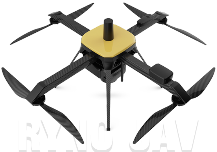
Ryno UAV is an aerial survey drone designed specifically for topographic mapping and surveying applications. It features advanced mapping payload with PPK module, achieving less than 5 cm ground sampling distance and less than 10 cm absolute X & Y accuracy. The drone covers 1 sq km at 120m AGL, has 40% better take-off performance than traditional quadcopters, and is 40% more cost-effective than quadcopters in ownership costs. It uses a Sony APS-C CMOS sensor with over 20 MP resolution and 64 GB expandable storage. The system output is compatible with workflows like point cloud, 3D model, digital terrain model, digital elevation model, and ortho.
About the Company
UAV Concepts
UAV Concepts is a drone solutions company that makes drones accessible across various sectors, with over 3 decades of experience in IT product sales and support, and over 350 sales and service poin...